What Is the Difference Between Geotagging and a GPS Photo Stamp?
Geotagging and a GPS photo stamp both connect a picture with a place, yet they work in very different ways. One hides coordinates inside the file, the other prints them on the image for everyone to see. Understanding the difference helps you choose the right method for records, sharing and privacy, and explains why many people use both.
What Geotagging Means
Geotagging stores location data as metadata inside the image file. Cameras and phones write this information in a standard format called EXIF, alongside details such as the camera model, exposure settings and capture time.
The coordinates are invisible when you look at the picture. Photo managers, mapping tools and some gallery apps read them to place images on a map or group them by location. Without such software, a viewer has no idea where the photo was taken.
What a GPS Photo Stamp Means
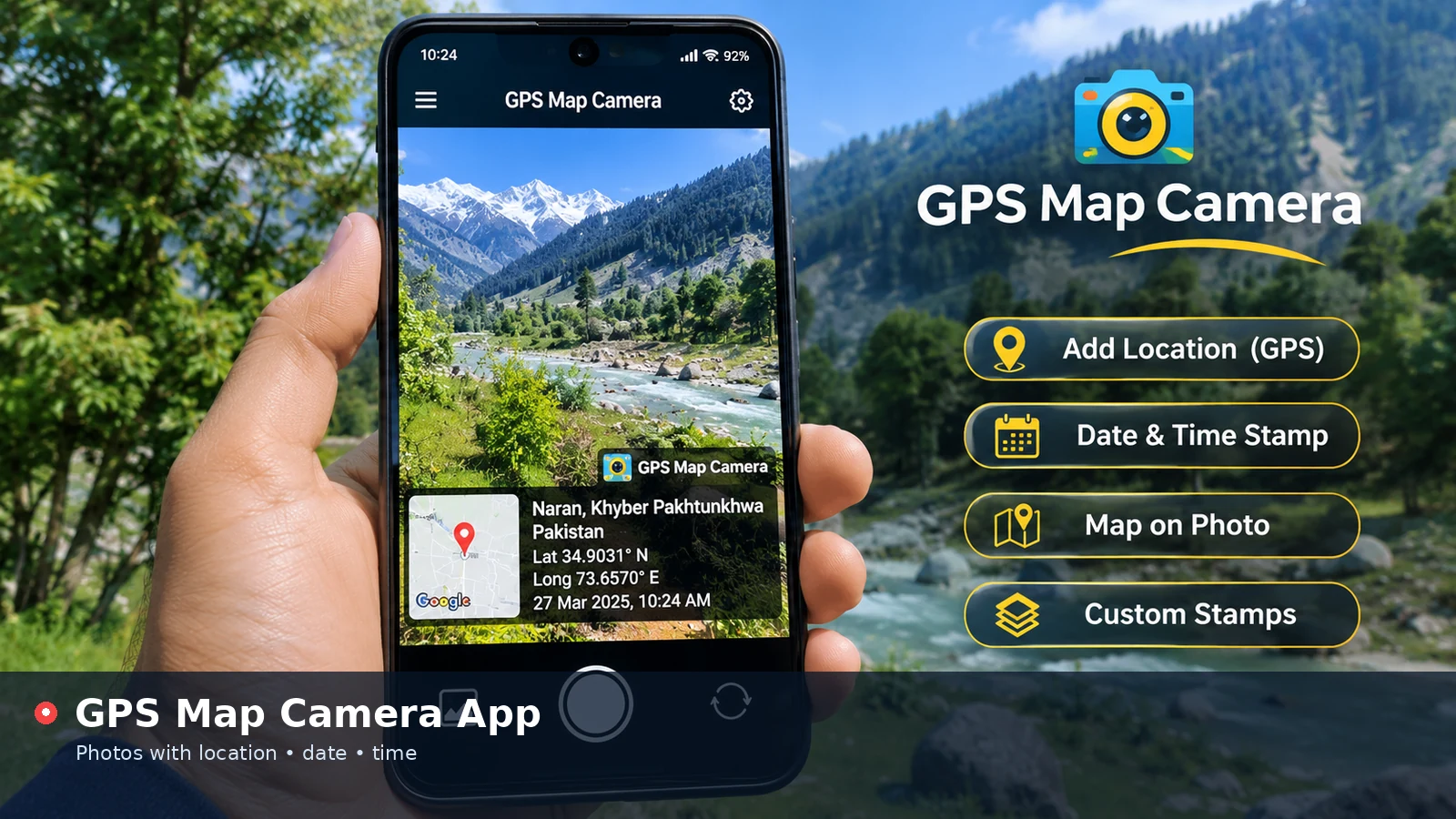
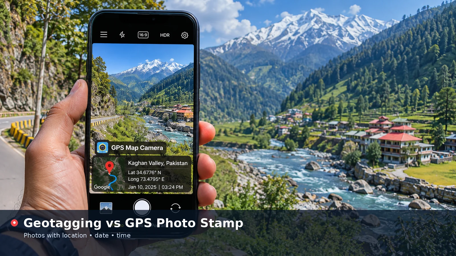
A GPS photo stamp is a visual overlay drawn onto the pixels of the image. It usually shows the place name, address, coordinates, date and time, often with a small map badge for quick recognition.
Because the stamp is part of the picture, it stays visible in any viewer, print, screenshot or document. Nobody needs special software to understand where and when the scene was captured.
Side-by-Side Comparison
The two methods solve different problems, and the table highlights where each one shines.
| Aspect | Geotagging (metadata) | GPS photo stamp (overlay) |
|---|---|---|
| Visibility | Hidden in the file | Visible on the image |
| Readable by | Compatible software | Anyone |
| Survives messaging apps | Often removed | Always kept |
| Survives screenshots and prints | No | Yes |
| Editable afterwards | With metadata tools | Only by re-creating the image |
| Effect on the picture | None | Occupies part of the frame |
How Sharing Affects Each Method
Many social networks and messaging apps strip EXIF metadata when you upload a photo. That protects privacy but also removes geotags, so recipients lose the location information.
A stamp avoids this problem entirely. Whether the image is compressed, cropped slightly or printed, the location remains readable. That reliability is why stamps are popular for work evidence and condition reports.
Which One Is More Private?
Metadata can leak location without you noticing, especially when files are emailed or shared through cloud links that keep EXIF data. A stamp is the opposite: obvious and deliberate. You see exactly what you are sharing and can hide coordinates or reduce detail before saving.
- Check metadata before sharing original files publicly
- Use city-level stamps for social posts
- Keep full coordinates for internal records
When to Use Each Method
Geotagging works best behind the scenes. It lets photo libraries build maps of your travels, helps photographers catalogue shoots and supports professional workflows where software reads coordinates automatically.
Stamps work best when people need to see the information. Site inspections, delivery confirmations, property records and travel albums all benefit from details that anyone can read at a glance.
Using Both Together
The strongest records combine the two. Keep the original photo with its geotag for software and auditing, and share a stamped copy for human readers. The online tool supports this approach because it reads existing GPS metadata from your JPG and uses it to fill the stamp.
Upload a geotagged JPG and turn its hidden coordinates into a visible stamp.
Add Location to PhotoHow the Online Tool Handles Both
When you upload a JPG, the tool looks for EXIF GPS values and the original capture date. If they exist, they appear in the form, ready for you to add a place name and style the stamp.
The saved copy is drawn fresh in the browser, so it does not carry the original metadata. That means the stamped version is safe to share without exposing hidden details, while your original file keeps its geotag on your device.
Common Misunderstandings
Some people assume a stamp automatically adds a geotag, or that removing a geotag also removes the stamp. In reality, each method is separate, and changing one has no effect on the other.
- A stamp does not write hidden GPS data into the file
- Removing EXIF data does not remove a visible stamp
- Editing a stamp requires the original photo
- Geotags can be read by anyone who has the file and the right software
How to Check Whether a Photo Is Geotagged
Most operating systems can show metadata without extra software. On Windows, open the file properties and look at the details tab; on macOS, use the information panel in Preview or Photos; on Android and iPhone, swipe up or tap the information icon in the gallery.
If latitude and longitude appear, the photo carries a geotag. Remember that this information travels with the original file wherever it is copied, unless an app or service removes it on upload.
- Windows: Properties, then Details
- macOS: Preview or Photos information panel
- Android: gallery details view
- iPhone: swipe up on the photo
Choosing the Right Method for Your Project
For personal archives, keeping geotags switched on in your camera is often enough, since photo libraries use them to build maps automatically. Add a stamp only to pictures you plan to share or print, such as travel highlights or photos sent to relatives who may not use mapping software.
For work records, stamp every photo and keep the originals. The visible stamp communicates clearly in reports, while the original geotag supports deeper checks if anyone needs to confirm details later.
Removing Geotags Before Sharing
When a photo should not reveal its location, remove the geotag before sending the original file. Phone galleries often include an option to share without location, and desktop systems can strip personal details from file properties. A stamped copy created in the browser tool already leaves hidden metadata behind, so it only shows the details you chose to print on the image.
Conclusion
Geotagging stores coordinates invisibly inside a file, while a GPS photo stamp displays location details directly on the image. Use geotags for software and archives, stamps for clear communication, and keep both when records matter. Knowing the difference lets you share exactly the information you intend and nothing more.